GIS & Remote Sensing
Spatial analysis, mapping, data collection workflows, geodatabases, and monitoring systems.
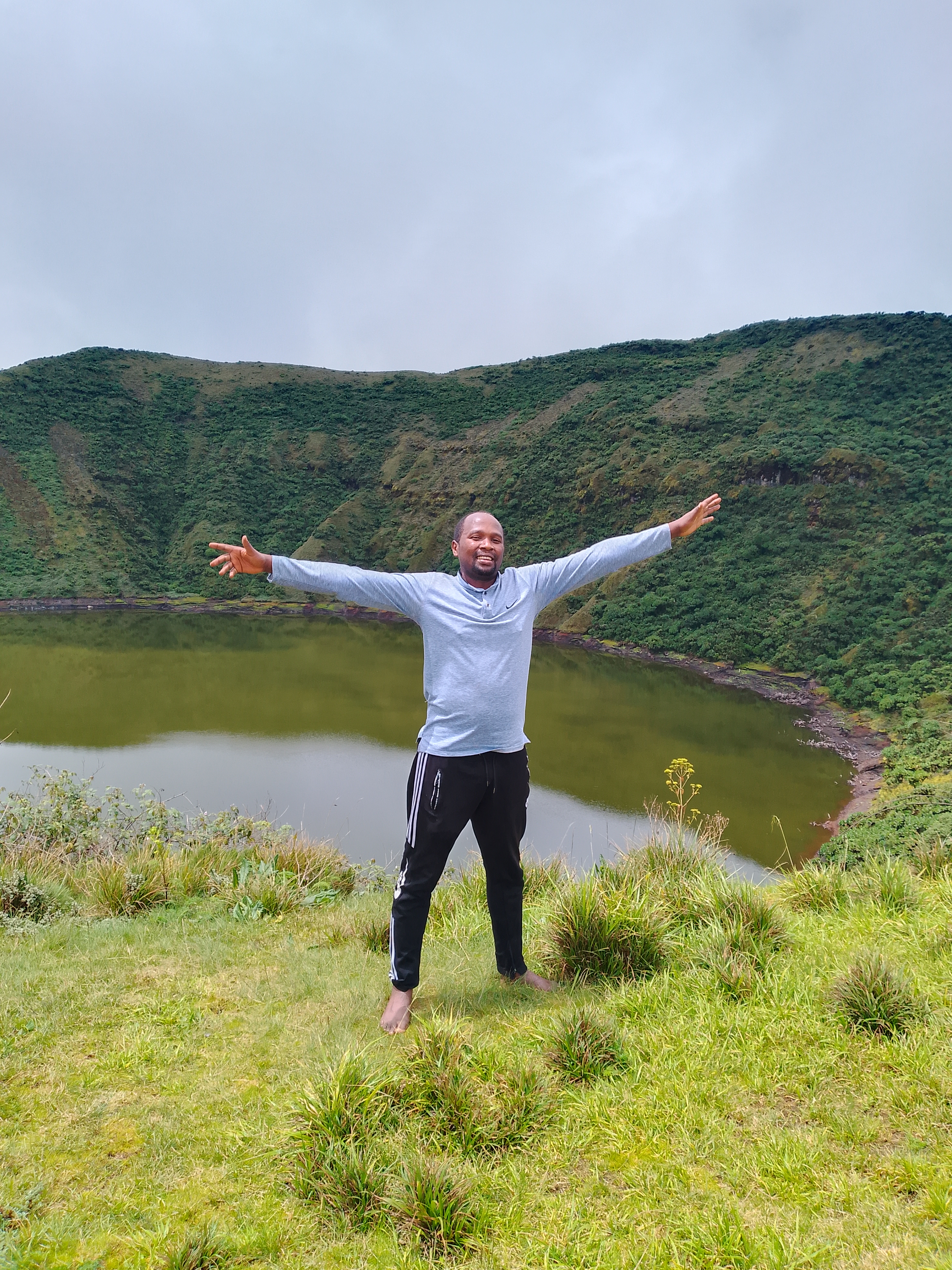
GIS / Remote Sensing / Conservation / Land Systems
I help institutions transform environmental, land, and spatial data into practical strategies, decision tools, maps, and partnerships that support measurable impact.
About
I am a geospatial and environmental data specialist with experience across GIS, remote sensing, biodiversity information systems, ecosystem services valuation, land tenure, programme design, and technical advisory work.
My work connects data science with real decisions: conservation planning, land management, natural resources monitoring, restoration investment, and practical tools for teams and partners.
Expertise
Spatial analysis, mapping, data collection workflows, geodatabases, and monitoring systems.
Landscape assessment, ecosystem service valuation, erosion analysis, and natural resource planning.
Data architecture, cleaning, publication, visualization, and decision support for conservation teams.
Land tenure, forest landscape restoration, land productivity monitoring, and investment analysis.
ETL, analysis, dashboards, R, Python, SQL, Excel, Tableau, Shiny, and applied statistical workflows.
Project design, partner coordination, grant proposal development, fundraising, and reporting.
Partnership Focus
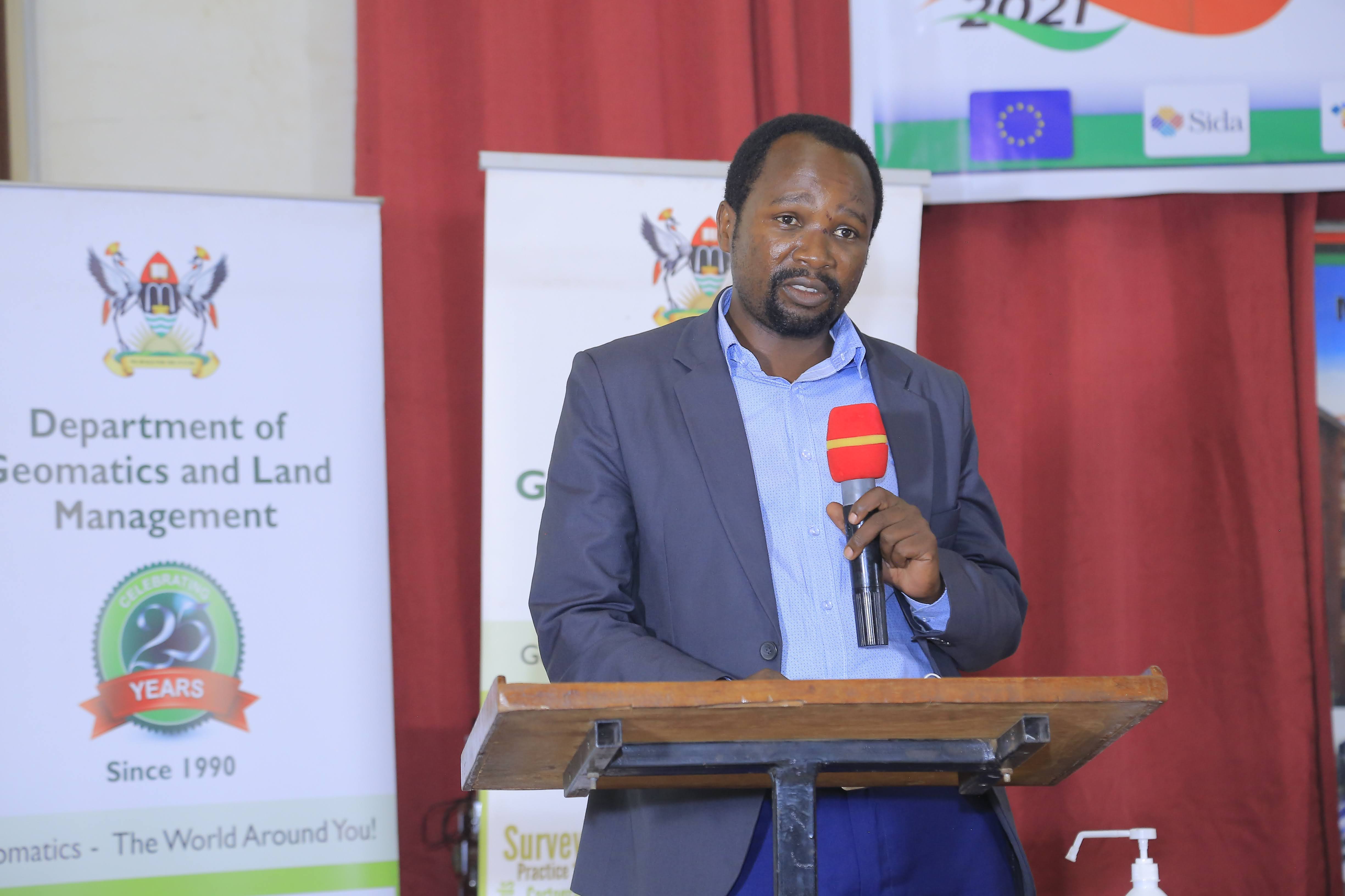
I work with public institutions, NGOs, research teams, and development partners to create useful geospatial products, strengthen systems, and turn complex evidence into decisions people can act on.
Selected Work
Coordinated geospatial planning work to support conservation zoning and informed management decisions.
Led information systems work for biodiversity data management, partner collaboration, and data use.
Developed geospatial resources to monitor FLR interventions and assess progress toward restoration targets.
Supported studies quantifying and valuing ecosystem services in important Rwandan landscapes.
Created a tool for watershed hypsometric analysis through recursive calculation of curves and integrals.
Managed field teams and community processes for systematic land registration and conflict resolution.
Recognition
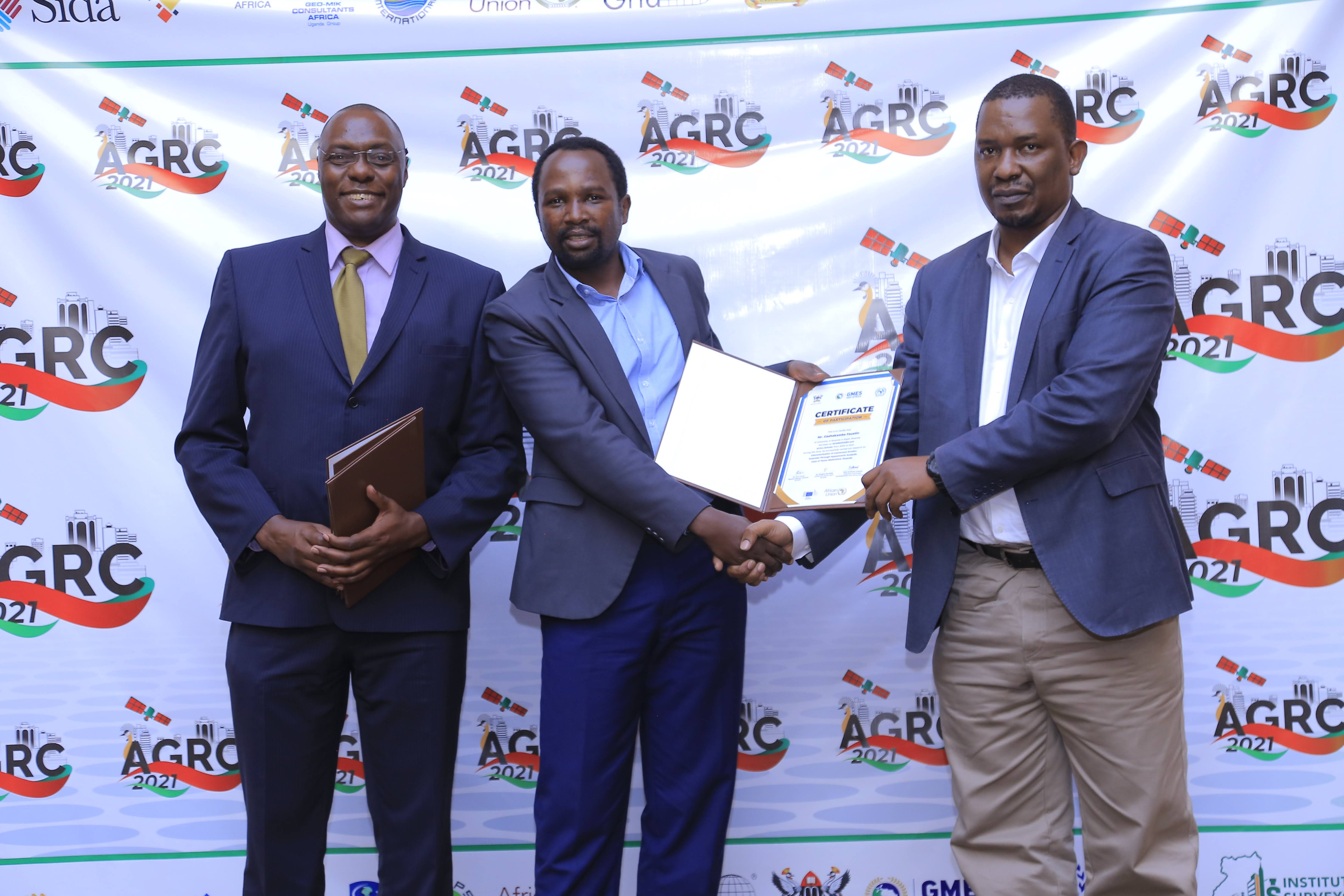
My work has been supported through research and travel grants, technical trainings, conference participation, and institutional recognition connected to conservation, biodiversity data, geospatial analysis, and sustainable development.
Journey
Working in the agriculture sector with One Acre Fund, leading geospatial projects and identifying data opportunities that improve operations and strategy.
Worked in the environmental conservation sector, directing information systems, programme design, partner engagement, outreach, and proposal development.
Supported Gishwati conservation through community engagement, monitoring, mapping, and reforestation work.
Worked in the land sector, coordinating field teams, land committees, public awareness, demarcation, and conflict resolution support.
Served on the government side, overseeing environmental compliance and processing export certificates for compliant stakeholders.
Beyond Work
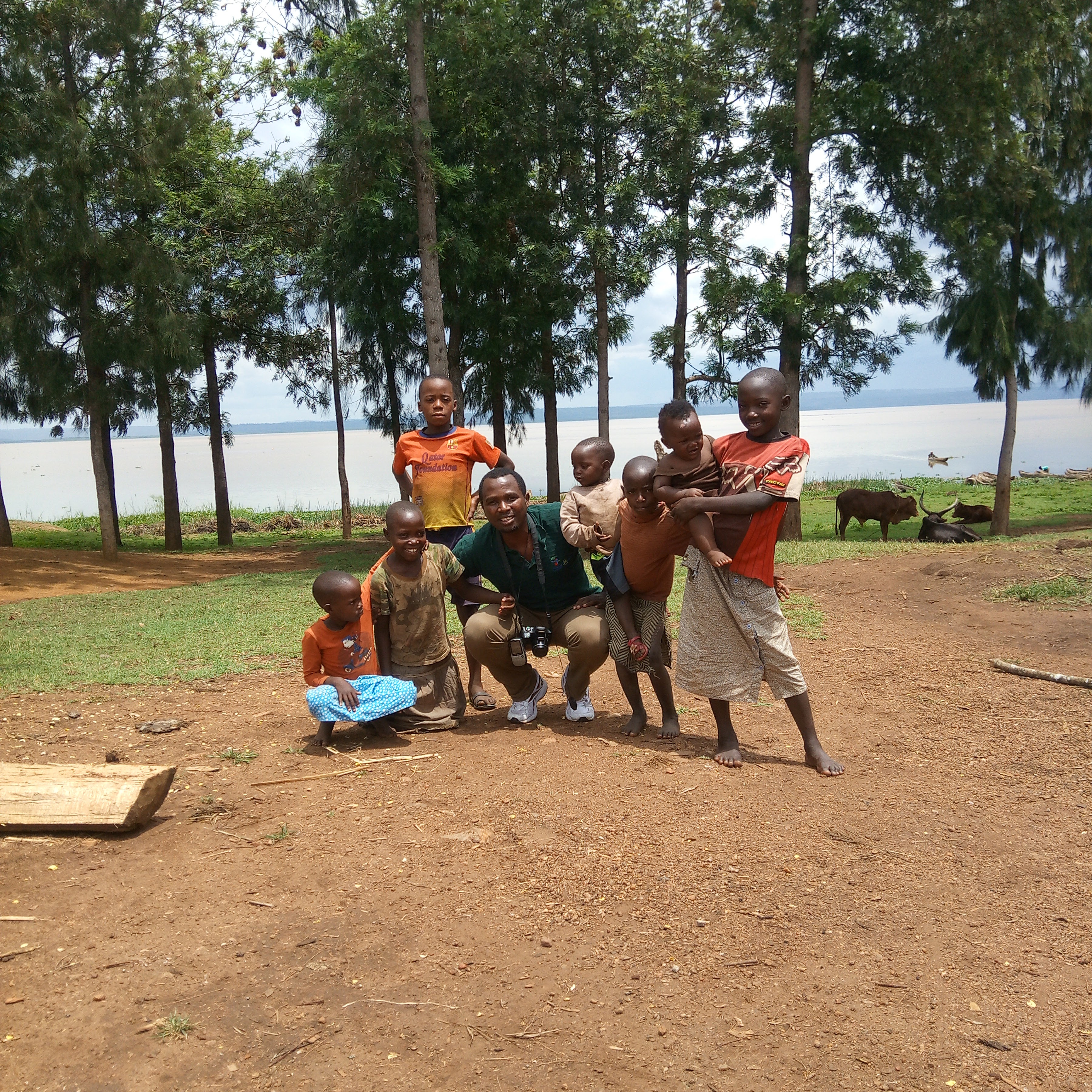
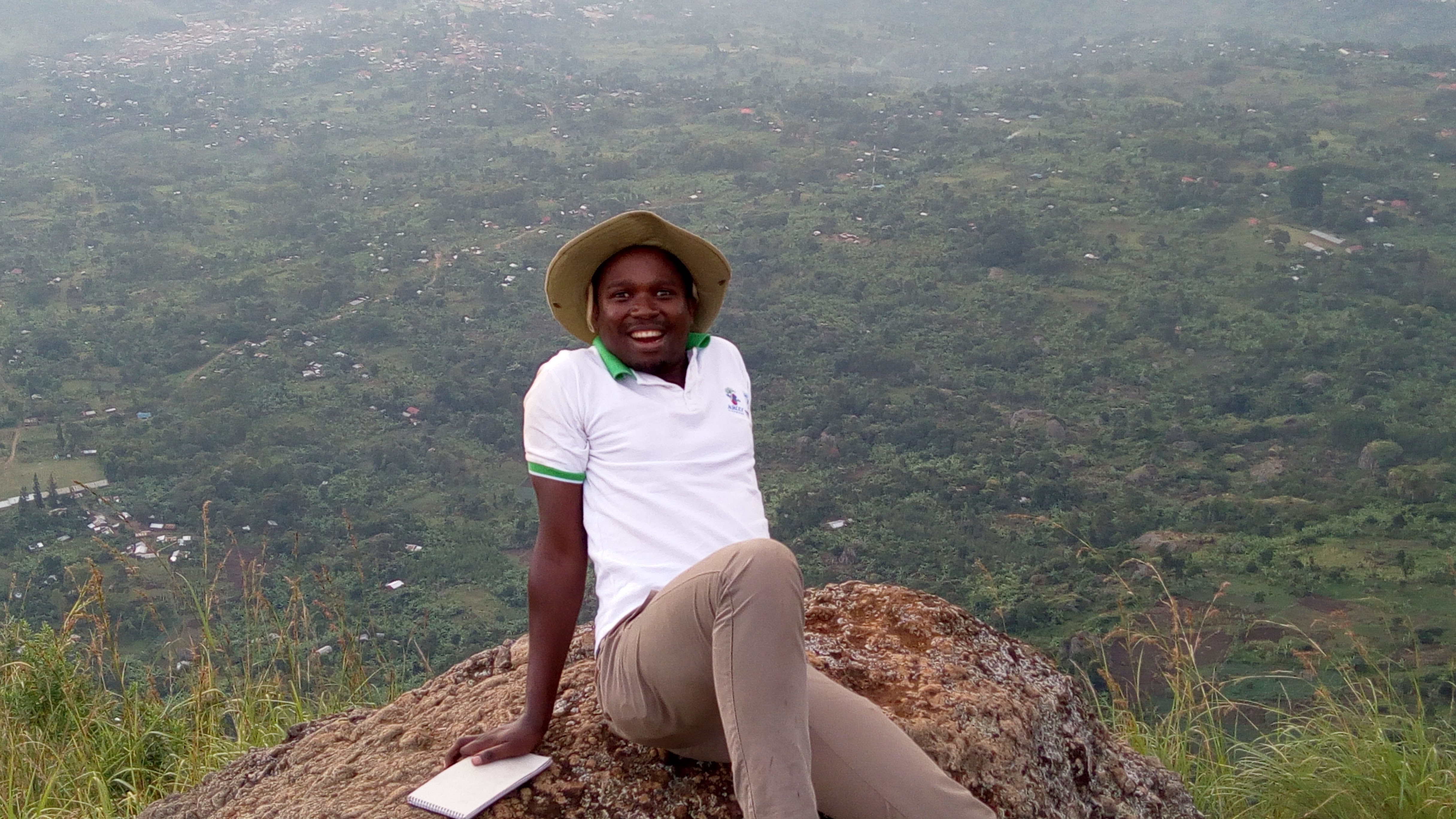
Beyond work, I enjoy jogging, motorbike riding, nature walks, and local outdoor activities. Time with family, communities, and open landscapes keeps me connected to the people and places behind the data.
Contact
I am open to consulting, research collaboration, training, geospatial project support, and institutional partnerships.